G.E.C., Inc. (GEC) has 20 years of experience providing GIS services to federal, state, and local clients throughout the United States.
GEC’s experience across multiple disciplines including aviation, energy, economic, engineering, and environmental services has provided a diverse spectrum to which it has successfully applied powerful spatial capabilities for aviation, highway and bridge management systems; environmental and cultural studies; urban planning; economic modeling; land management; emergency operations; public healthcare; utilities; and facility management projects.
Aviation – GEC’s GIS Division is developing a GIS system for the Lake Charles Municipal Airport.
GEC’s professional GIS staff offers specialized experience in data development, analysis, map production, GPS field work, database management, and custom applications development for desktop, web, and mobile environments.
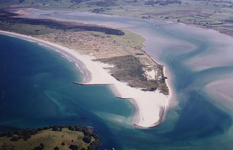
GEC also offers state-of-the-art drone services to deliver 4K quality aerial photography, 3D models and other mapping products. Our FAA Part 107 trained staff specialize in delivering these aerial services at a fraction of the time and cost of other satellite or manned aircraft.
Services include:
- Low-Angle Oblique Images
- 4K Video
- Orthomosaic Imagery
- Toporaphic Mapping
- 3D Modeling
MUNICIPAL SYSTEMS
- E-911
- Addressing Facility Management
- Hydrology
- Ownership/Parcel Mapping
- Transportation
- Utilities
GLOBAL POSITIONING SYSTEMS (GPS)
- ArcPad Developer
- Infrastructure Mapping
- Natural Resource Mapping
- Navigation/Transportation Tracking
- Utilities Inventory
ENTERPRISE GIS IMPLEMENTATION
- Base Mapping
- Data Conversion
- Database Design
- Needs Analysis, Feasibility Studies, and Implementation
- Software Selection and Customization
REMOTE SENSING AND AERIAL PHOTOGRAPHY
- Aerial Photograph Georeferencing
- Raster Mosaic and Base Map Creation
- Satellite Data Interpretation, Manipulation, and Analysis
- Supervised/Unsupervised Classification
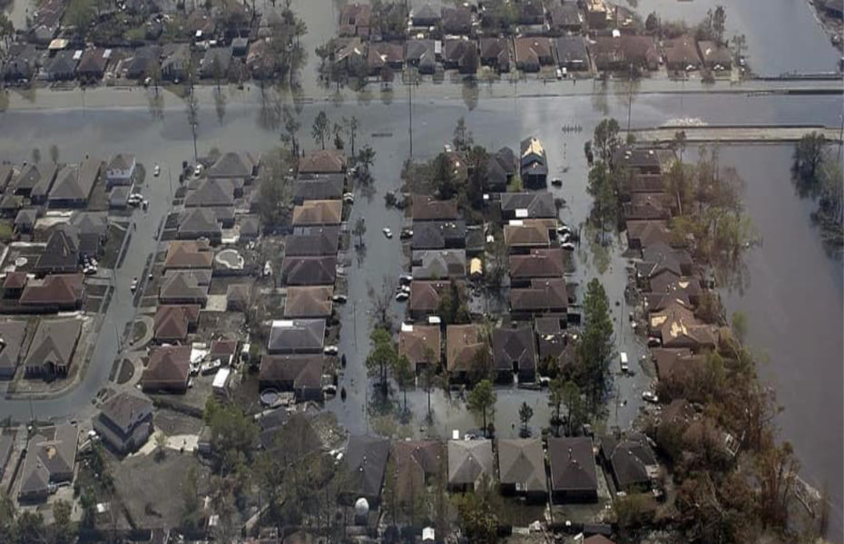
EMERGENCY MANAGEMENT
- Floodplain Management/Mapping
- HAZUS/HEC-FIA Loss Estimation
- ICS/NIMS Compliance
- Risk Assessment
- Social Vulnerability Analysis
DATA ANALYSIS, VIEWING, AND PRESENTATION
- Animation
- Spatial Modeling
- Spatial Statistics
- Surface and 3-D Analysis
- Visualization
ENVIRONMENTAL MAPPING AND ANALYSIS
- Alternatives Analysis/Quantification of Impacts
- Cultural Resources
- Endangered Species
- Flood Analysis
- Forestry
- Hazardous Waste
- Soils Mapping
- Wetlands
DRONE SERVICES
- Low-Angle Oblique Images
- 4K Video
- Orthomosaic Imagery
- Topographic Mapping
- 3D Modeling
PROGRAMMING AND SYSTEM DESIGN
- Database Customization
- Software Selection, System Configuration, and Training
- Visual Basic (.NET), Java, Javascript, JSON, Python, XML, Silverlight, Flex, C#
- Web-Based GIS (ArcGIS Server and ArcIMS)


