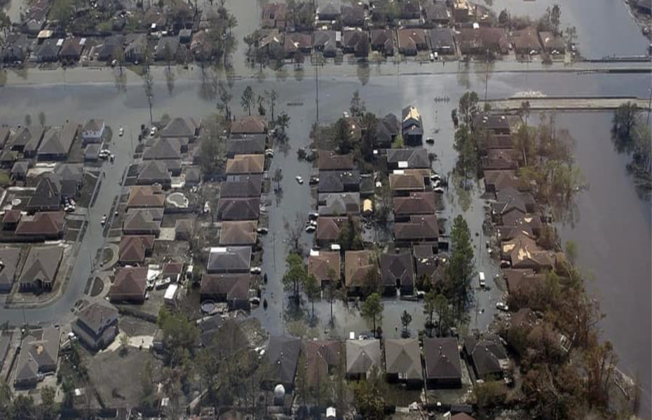
Development in the floodplains in any part of the country usually results in damages. With over 50% of the U.S. population living in coastal areas floodplain management has become an increasingly important part of GEC’s growing floodplain management capabilities. GEC has worked for federal, state, local and private clients completing Coastal Master Plans, Flood Insurance Rate Maps (FIRM), Flood and Drainage impact analysis, Public Outreach and flood damage curve updates. Flooded areas were determined through both HEC analysis and evaluation of post-flood reports from FEMA, flood insurance reports and various local sources.
GEC has three Certified Floodplain Managers on staff with mapping, flood damage prevention, benefit analysis, delineation of flooded areas and consequence estimation. Our staff has experience using HEC-FIA, HEC-FDA, HAZUS MH, HEC-RAS and Geo-RAS and various other mapping and modeling programs. Our team understands the threats posed by rising floodwaters and how to manage and reduce those risks. GEC has used various workshops, social media and web-based tools to work with the public and private sector to analyze and assess this risk.
Floodplain Management Experience
- FIS Studies
- Hydrologic and Hydraulic Analysis
- Public Outreach
- H&H Model Development
- NFIP Map Updates
- Letter of Map Amendments (LOMA)
- Letter of Map Revision (LOMR)
- HEC-RAS
- HEC-HMS
- HEC-FIA
- HAZUS – MH
- Flood Damage Curve Updates
- Detailed Structure Inventory
CLIENTS
- FEMA
- USACE – Savannah
- USACE – New Orleans
- USACE – Tulsa
- USACE – Mobile
- USACE – Huntington
- CPRA
- Ascension Parish
- Amite River Drainage and Water District
- Pointe Coupee Parish
- City of Central
- East Baton Rouge Parish
- Livingston Parish
St. Tammany Parish


